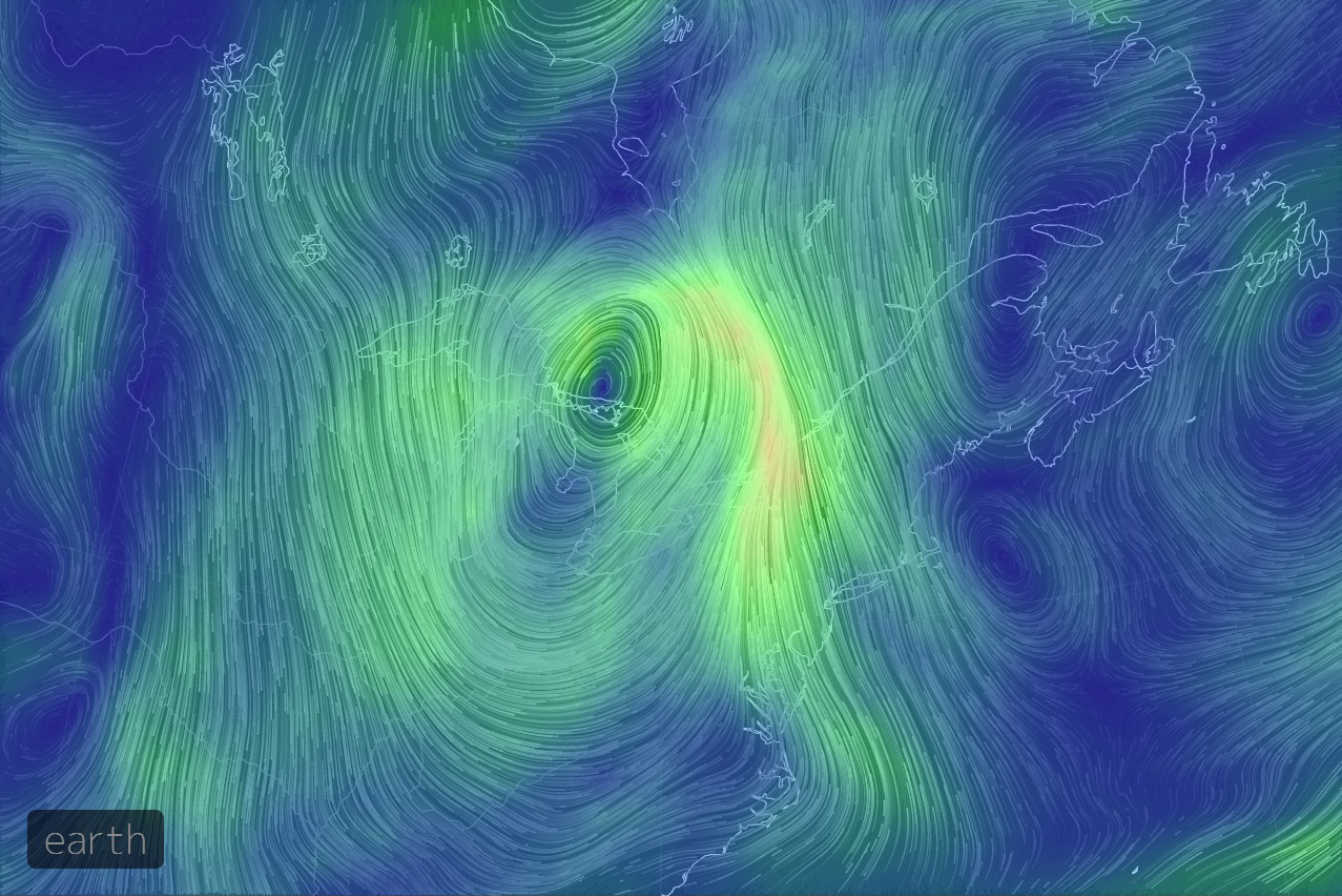
Wind maps (above) from Aug 11th (pm)..
We had a LARGE low pressure system (not strong, but very sizable) - slowly pass over our area over the past few days.... The winds above show a direct flow from the USA east coast to the Great Lakes...
Aug 12th maps below -
As the system leaves, we'll be getting a cool blast (today) from the centre of the continent... Winds come from all directions in a low... Can we get some rare birds from this? Mabe the Piping Plover in Hamilton counts as the first - or perhaps the Laughing Gull in Oakville as well?
I think it's a good time to do a quick check of your local hotspot... A cool weather system! Still a bit early for me to get toooo excited though - but there could be some serious goodies out there now (rare herons?)
surface winds
850mb winds
500mb winds - this was very much a "surface low" ...
Could be out there.. Right now! (this could also be the least likely "regular" rare heron) - but hey! Dream big.


Something I hadn't looked at until now - but James Bay is getting HAMMERED with north winds from this system as well.. Should be north 60kph all day tomorrow! Wonder what's out there?!?!?
ReplyDeleteI may have to watch from the old balcony tomorrow to see if any shorebirds get pushed down into our region. Is it too early for a Long-tailed Jaeger?? There was one on the lake last year on Aug 15 - so I say no!