
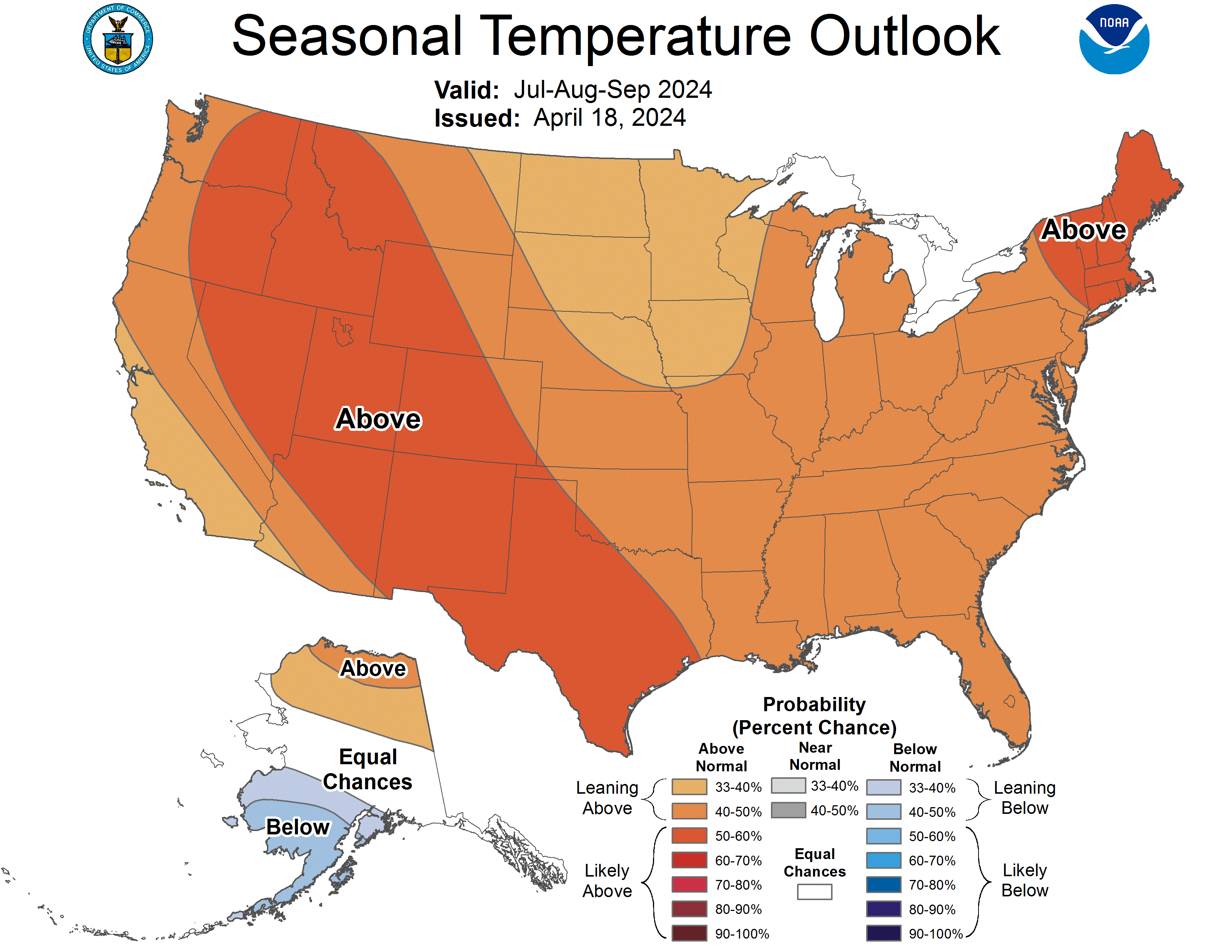
CPC's Three-month outlook (valid April-May-June) for temperature...
Looking above normal to our south and SE - meaning a storm track will likely be pushing through the Great Lakes...
It's a long ways away, but it looks good for some above-average May birding!

Special weather statement for
ReplyDeleteCity of Toronto continued
Low pressure system to affect Southern Ontario on Saturday.
A low pressure system from the Southern United States is expected to affect much of Southern Ontario Saturday into Sunday morning. There is uncertainty as to the exact track of the low, but current indications suggest that areas south of a line from Goderich to Kingston will see snow changing to rain with a risk of freezing rain. Areas farther north are likely to see all snow with accumulations of up to 15 cm possible. Precipitation will begin in Southwestern Ontario near midnight and reach Eastern Ontario near noon on Saturday. This bulletin will be updated regularly.
Although areas that see a changeover to rain will be above freezing, untreated surfaces may still be quite icy as the ground temperature may be below freezing due to the colder than normal weather this season.
Please monitor the latest forecasts and warnings from Environment Canada at www.weatheroffice.gc.ca.